What is StreetComplete?
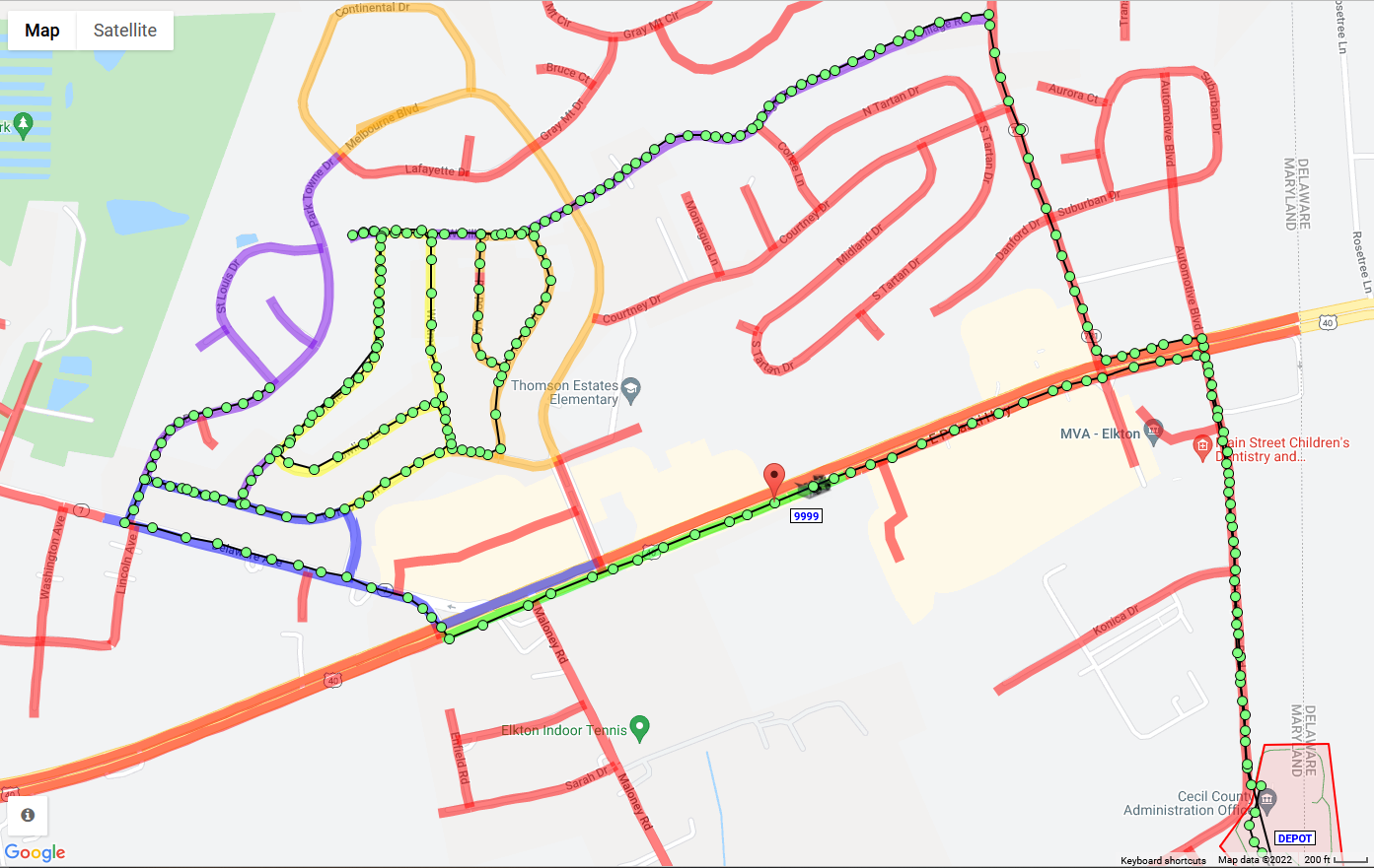
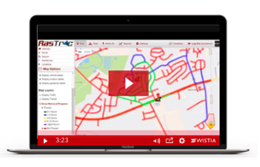
Rastrac's StreetComplete is a vehicle tracking solution that optimizes routes to enable municipalities—and other organizations—to monitor a given service area over a period of time as maps “age out”. This intuitive telematics system uses color-coded street maps to show fleet managers which streets have been visited by a GPS-tagged vehicle recently and which ones haven’t.
For example, you could set the software to display green for streets that have been serviced in the last 15 minutes, yellow for ones that were completed between 16 and 40 minutes ago, red for streets that haven’t been patrolled between 41 and 60 minutes ago, and beyond. Overall, StreetComplete is a powerful tool that can be leveraged to optimize operations, save resources, and streamline your municipal fleet.


-103655-edited.png?width=600&name=streetcomplete%20logo-02%20(1)-103655-edited.png)


